Bing Maps provides a fresh alternative to Google Maps as a free resource for satellite imagery. Specifically it has to do with the Birds Eye feature, which gives you an aerial view at 40 degrees from vertical. The pictures are not shot by satellites but by aircraft with specially designed remote sensing technology. Birdseye works well if you’re trying to locate entry/exit points into a building, elevations and angles on a house, or specific details on vehicles like trim, shape. For example, below is a satellite view of the Las Vegas strip overlooking Caesar’s Palace.
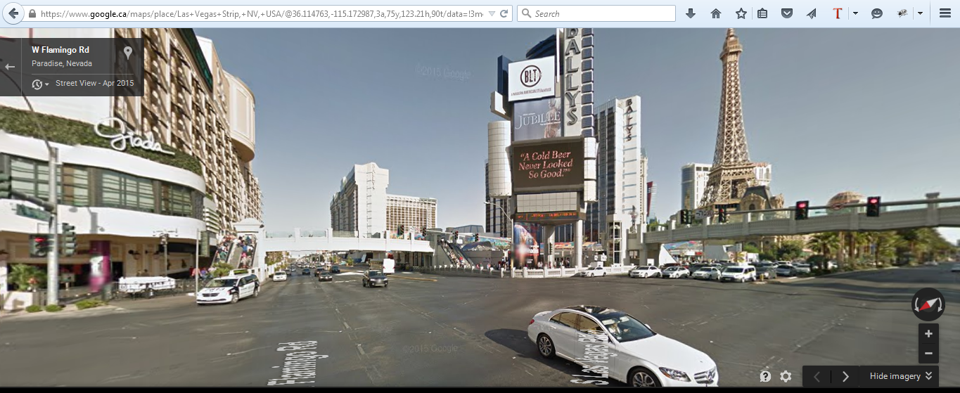 And below is the street view at the intersection looking towards Caesar’s Palace
And finally, the Bing Birdseye view of the same intersection.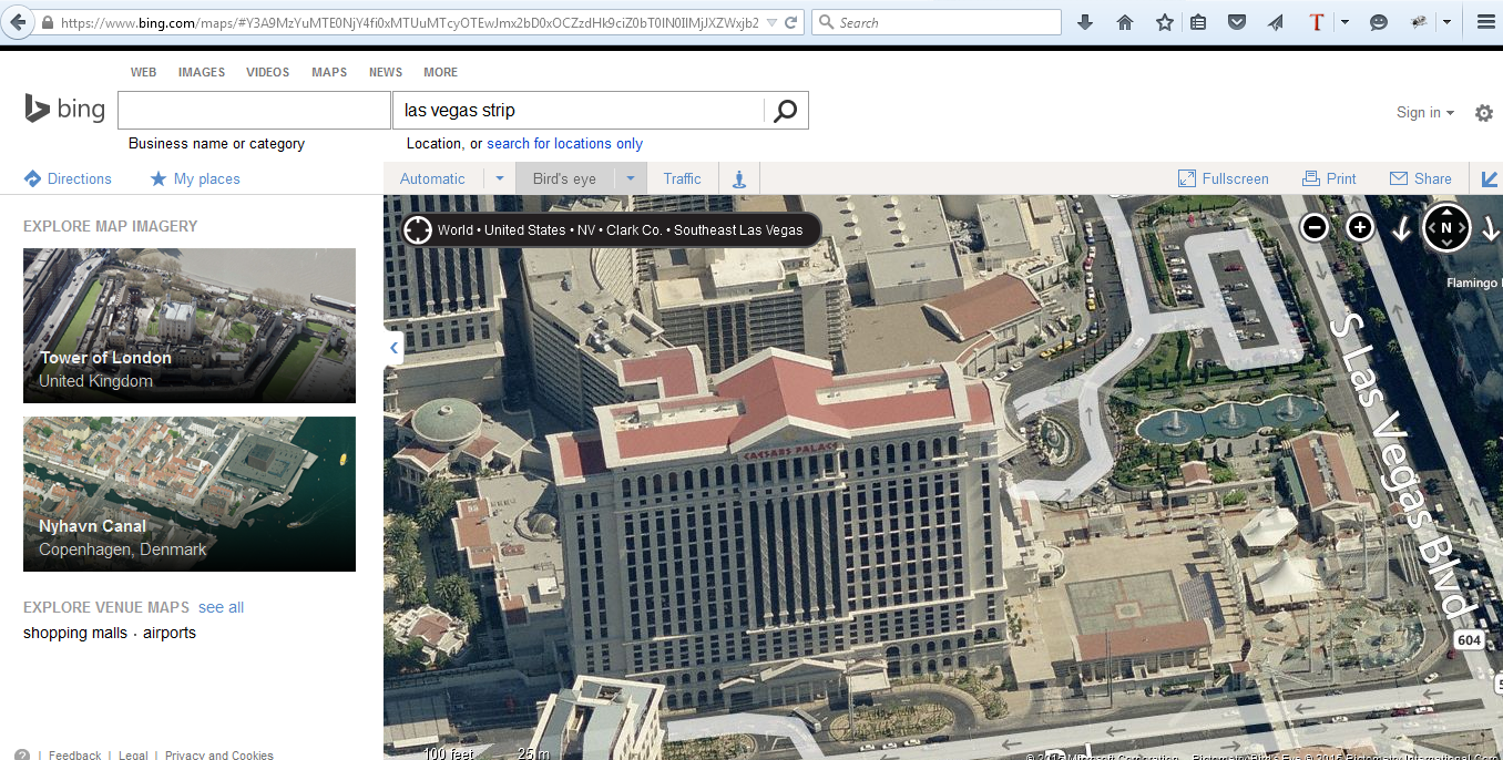 Now if you compare Birdseye to Satellite to Street View, they all have their pros and cons. But before you dismiss Birdseye as a toy, here’s another look at the same intersection from the opposite direction:
 You can view the same structure / location from 4 different angles using Birdseye! A whole lot more detail that would otherwise be hidden in the shadows on Google Maps, and locations where the Street View cameras can’t get to.
Birdseye is definitely going into my toolbox. I recommend it goes into yours too!